Land Navigation - Online Course


Land Navigation - Online Course
We’re pleased to offer this course in collaboration with Base Medical (USA). This introductory course is ideal for aspiring mountain leaders, those participating in outdoor sports, rescue personnel or wishing to plan an expedition.
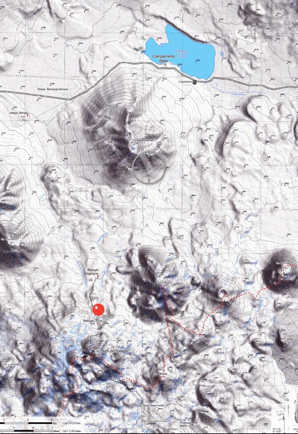
This 2-hour course covers the fundamentals of land navigation for backcountry SAR, including, lat/long, UTM, USNG, datums, GPS, topographic maps, compass use, triangulation, and route finding
Core Topics
Introduction: Earth, Direction and Map Basics
Course Introduction; the Earth & Direction
Understanding Maps
Topography & Topographic Lines
Topography Maps vs The Real World
Describing Position: Coordinates and Datums
Communicating Location & Coordinates
Latitude & Longitude Use and Formats
UTM Coordinates
The Importance of Datum
USNG Coordinates
Plotting & Reading Coordinates
Basics of Reading & Plotting UTM Coordinates
Plotting & Reading UTM on map
Navigation Tools: Compass & GPS Receiver
Compass Basics & Setting Declination
Compass skills: Orienting a Map, Taking & Shooting Bearings
Triangulation of Position
Triangulation (additional demonstration in office)
Satellite Navigation: using GPS and similar technologies
Route Finding: Examples
Using Compass Bearings in a SAR Mission
Route Planning - Dealing with Inherent Uncertainty
Route Finding Methods & Examples
A More Complex Trip Plan
Practice & Supplemental Materials
Mpas
USGS_LandNavManual
NTSB_MSP_AAR0907
US Military Land Nav Field Manual
Skill Development Practice
ITU Phonetic Alphabet
Coordinate Conversion Websites
Review Quiz
Exam
Concept:
This self-paced online distance learning course can be taken at any time.